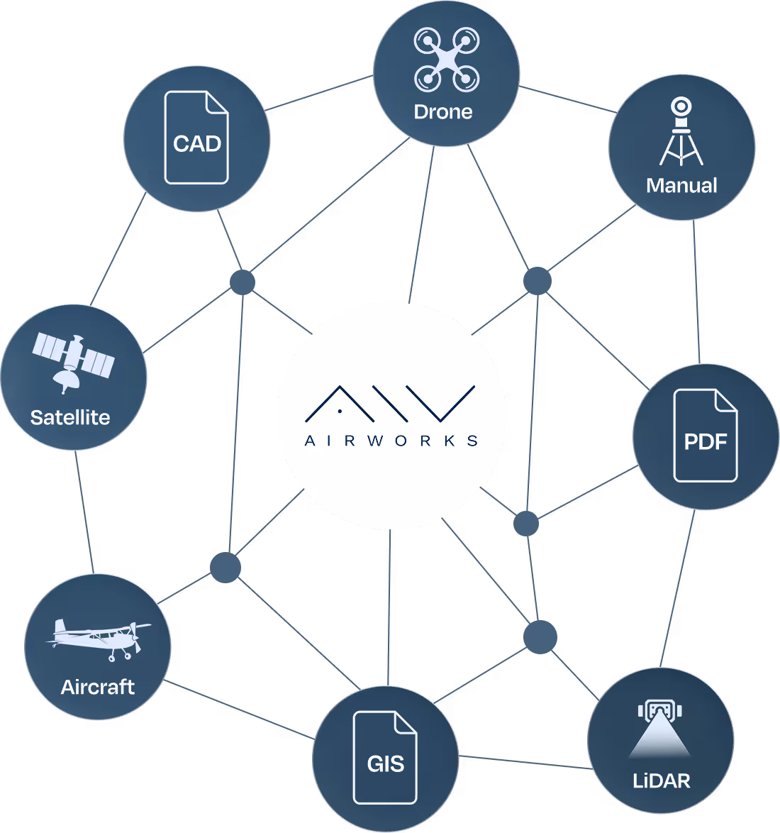
Field Intelligence That You Can Build On
AirWorks provides the project site data engineers need to plan, design, and deliver complex new builds faster and at scale.
Data to Design in Record Time
Whether you’re planning a fiber rollout, designing a roadway, or developing a new utility network, our efficient delivery of field intelligence will help your team slash time to revenue and stay ahead of the competition.
By automating the most time-consuming parts of the drafting process, we reduce project delays and help your team move confidently in design and deployment. Every output is verified through human QC, and tailored to the specifications of your project.
Break Ground Faster With AirWorks
Digital Project Site Twins for Accelerated, Optimized Engineering

.avif)
AirWorks Field Intelligence Can Support:
We replace manual walkouts with high-precision remote data, reducing truck rolls and saving time for field teams.
We support trenching and path design by providing detailed surface linework.
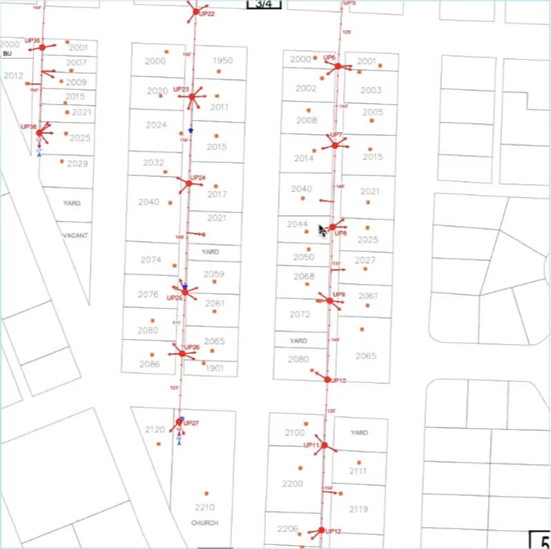
Our 3D outputs include pole locations, attachments, vegetation, and clearance data.
We deliver pole-level features, span data, and attachment context so you can plan better.
Get context to evaluate build paths, estimate costs, and define routing constraints.
We extract paved surfaces, boundaries, and encroachments to support right-of-way design and permitting.