
Plan, Build, and Maintain with Confidence
AirWorks delivers accurate geospatial data and digital twins early in the project lifecycle, helping your team plan, design, and maintain infrastructure with precision and speed.
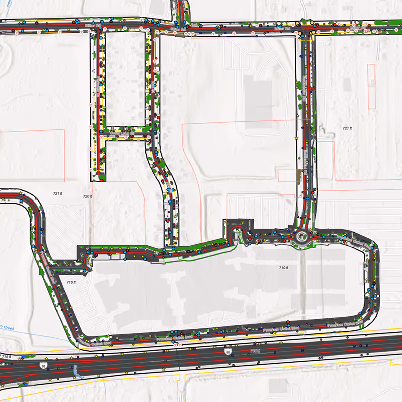

Precision Data for Every AEC Project
Your work demands accuracy and speed. Our geospatial data is verified to the highest standards, giving you confidence in every measurement. With flexible inputs and outputs, we adapt to the scope of each project and make it easier to keep multiple sites moving without delays.
Bring Accuracy, Flexibility, and Control to Every Project
Quickly evaluate sites before work begins to save time, reduce risks, and plan efficiently.
Provide accurate geospatial data to guide design, construction, and ongoing project management.
Optimize layouts and designs with precise measurements and actionable spatial insights.
Map length, width, and position accurately for underground or surface-level project planning.
Visualize height, volume, angles, and attachments to manage aerial and volumetric aspects of your projects.


Kimley-Horn Cuts Conceptual Design Surveying Fee by 50% Using Drone Technology and AirWorks’ Automated Drafting Software.
Customer Success Stories
See how AirWorks can assist with your next project.


.webp)

.jpeg)

.webp)

Smarter planning, permitting, monitoring, and deployment.

.svg)
