.avif)

.avif)
.avif)
1. Consultation
We begin by discussing the scope, location, and technical needs of your project. This allows us to make proper field intelligence assessments and align our process with your existing workflows from the start.

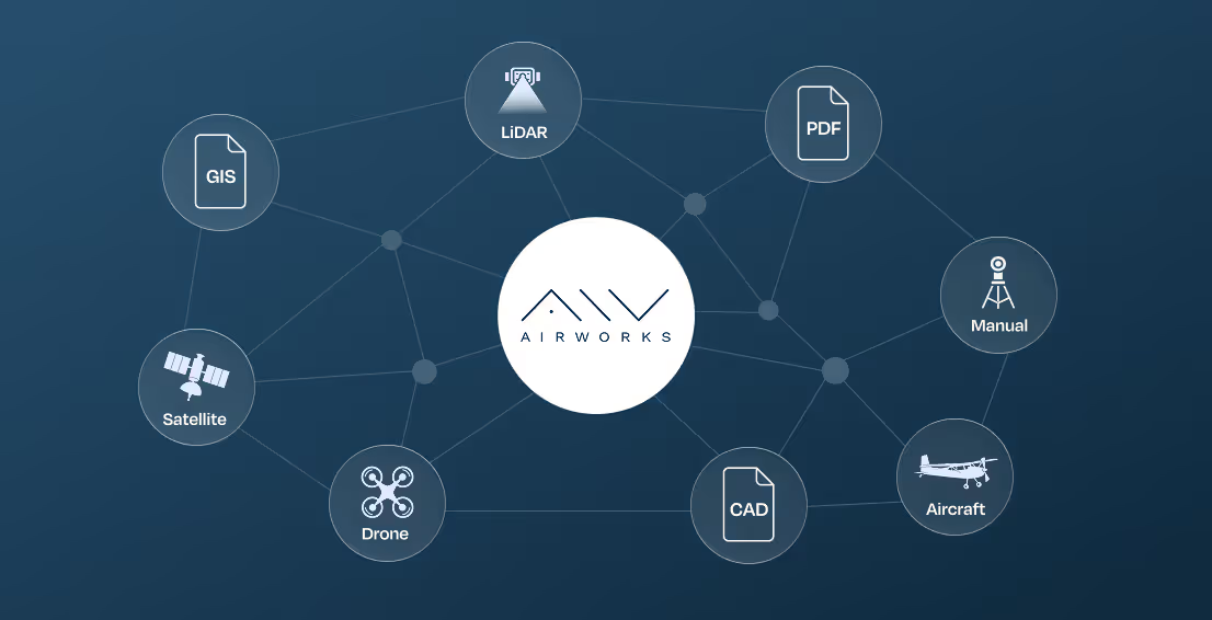
Supporting Telecom, Power, AEC, and Government Agencies.

See how AirWorks can assist with your next project.

From first conversation to final deliverable, our workflow enables us to deliver a solution customized to your needs.


Director of Professional Savings
"We’re able to do more with fewer number of designers – it’s not only a time savings but an overall cost savings. What we pay per project is significantly less than the additional manpower that would be needed to handle these ourselves."

Executive Vice President
We were hoping to see a 70-80% reduction in drafting by using AirWorks, and it certainly happened. The accuracy is there, and the fact that we don’t have to do all of that work manually is huge for us.

Corporate Design Technology Manager
"I think the final selling point for us was really the cost per acre versus the manhour cost for doing the same type of work. You get good quality data in a lesser amount of time, for less cost, and you’re not taking someone away from other important tasks. With all that said, it was kind of a win-win all the way around."

UAS Operations Manager and IT Systems Manager
Something we looked very closely was the accuracy of the final linework – even comparing it to data we did collect in the field, like curb corners. We had the ground survey crew get a couple of stripes just to compare and the accuracy was very good. That’s a big reason why we keep using AirWorks.

Survey Department Manager
"Using AirWorks is basically like getting another two drafters for one tenth of the cost with half the amount of time a person would take and be compensated for."

Project Manager
"When comparing the cost of what it would take for us to provide CAD support versus working with AirWorks, there was a significant cost saving."

Vice President and Survey / Geospatial Principal
"From the time-savings to the quality level AirWorks maintains, for us it was a no-brainer to move forward."
We don't just support telecom, power, AEC, and government. We've helped teams get data from the field for many uses and industries. Reach out to explore your unique project's needs.