Every infrastructure project begins with a critical decision: how to capture the field data that will inform planning, design, and execution. That choice heavily impacts not only costs and timelines, but also the confidence that teams can have in downstream deliverables.
There is no universal “best” capture method, which is unfortunate since that would sure make things easier. Each approach carries tradeoffs in precision, scalability, and operational complexity. Therefore, the right decision depends on project size, site conditions, budget constraints, the quality of existing data, and the field intelligence that is required to move the project forward.
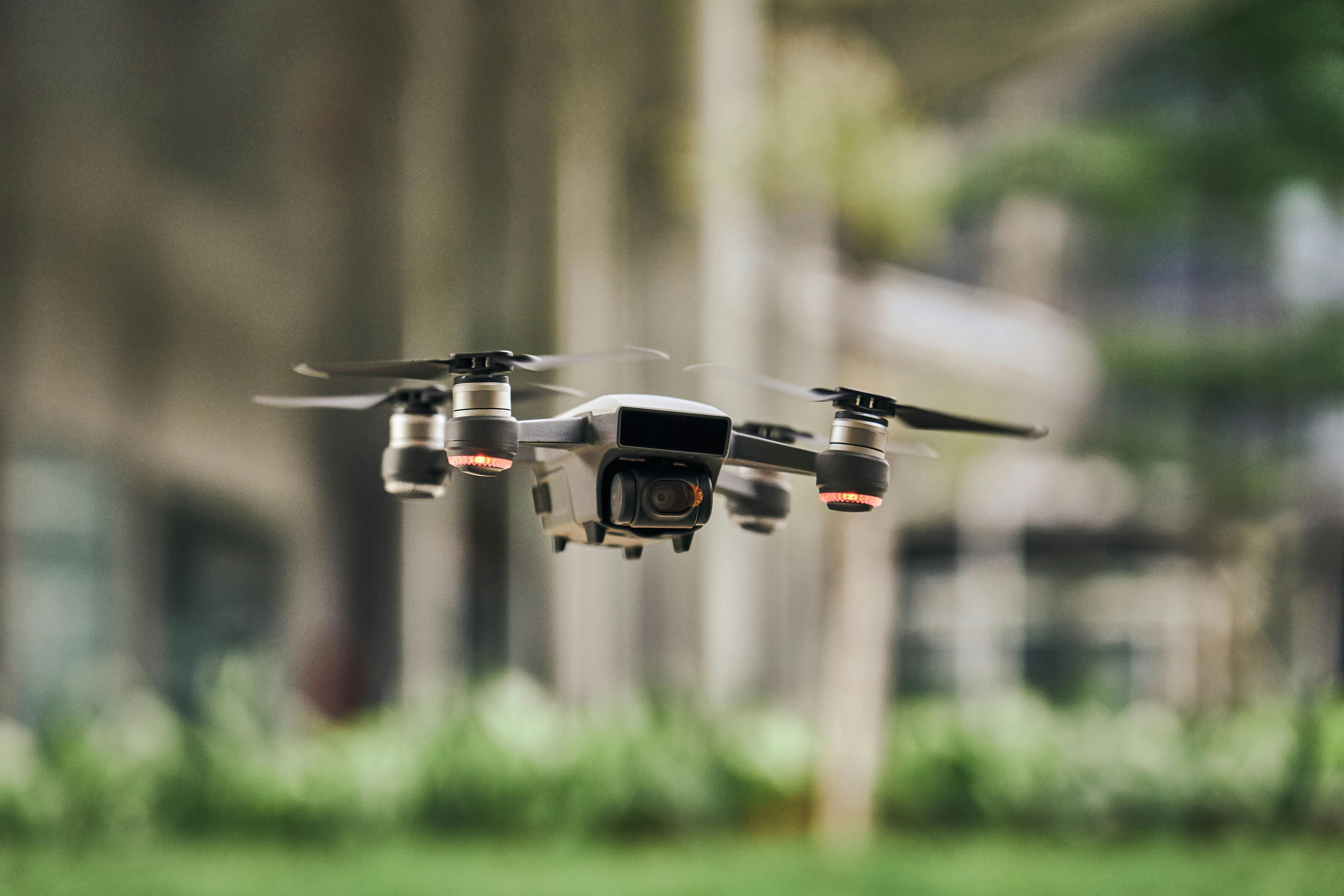
For many teams, the first decision is whether to start relying on next-gen remote sensing capture methods. Legacy methods are reliable and familiar, and the new tech comes with a learning curve and a need for new internal data infrastructure and methodologies. But when properly leveraged, modern field data technologies can dramatically increase speed, expand coverage, and reduce dependence on constrained field crews. At AirWorks, our focus is on helping teams unlock the speed advantages of next generation capture methods while managing the data complexity that can otherwise become a bottleneck downstream.
Understanding the Tradeoffs
In general, the closer your capture method is to the ground, the higher the level of accuracy. That increase in precision typically results in higher costs. Boots on the ground crews can produce highly accurate results, particularly when supported by handheld technology (IKE, Katapult). However, they require coordination, travel, and time in the field. For large or distributed project areas, this approach can become slow and expensive.
At the other end of the spectrum, platforms like Google Earth, open-source datasets, and satellite imagery are inexpensive and fast to access. They are often suitable for early planning or simple mapping exercises. However, quality issues, data gaps, and outdated information can introduce risk if used for detailed design.
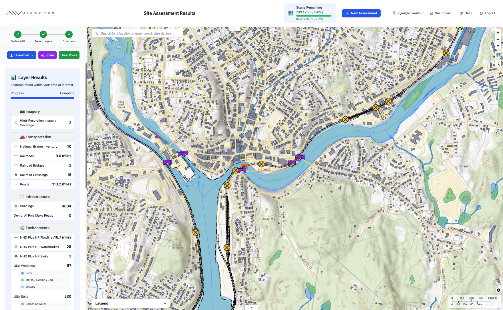
Between those extremes are aerial capture methods such as manned aircraft, drones, and mobile capture systems. These approaches provide varying degrees of precision and coverage:
- Aircraft and satellite capture offer broad geographic visibility for planning and routing.
- Drone capture provides high precision for mid to large areas and can reach locations that are difficult to access on foot.
- Mobile capture by vehicle enables detailed surface modeling and strong visibility into three-dimensional features.
Each method has strengths. Each has limitations. The key is matching the method to the project’s technical and commercial requirements.
Four Questions That Should Guide the Decision
Before selecting a capture approach, teams should align on a few foundational questions:
- What is the size of the project area?
- What are the site conditions, including terrain, vegetation, and weather?
- What is the quality and reliability of existing data?
- What level of detail is required to support design and construction?
A dense urban corridor with existing records may require a different approach than a remote rural deployment with limited documentation. A high level feasibility study does not require the same data fidelity as final construction design. Clarity on these variables reduces the risk of over investing in unnecessary precision or under investing in data quality that will later require rework.
Data Capture: A Core Strategic Decision
Field data capture is too often treated as an early task to complete and move past. In reality, it is a strategic input that influences every phase that follows. Choosing the right method can accelerate permitting and design, reduce change orders, and improve coordination across engineering teams. Choosing the wrong method can create bottlenecks, introduce avoidable risk, and erode schedule confidence.
The goal is not to default to the most expensive option or the fastest one. It is to deliberately balance accuracy, speed, and cost based on the demands of the specific project and phase. When teams make that decision with intent, the rest of the workflow becomes significantly more predictable.
.png)

.png)
.jpg)