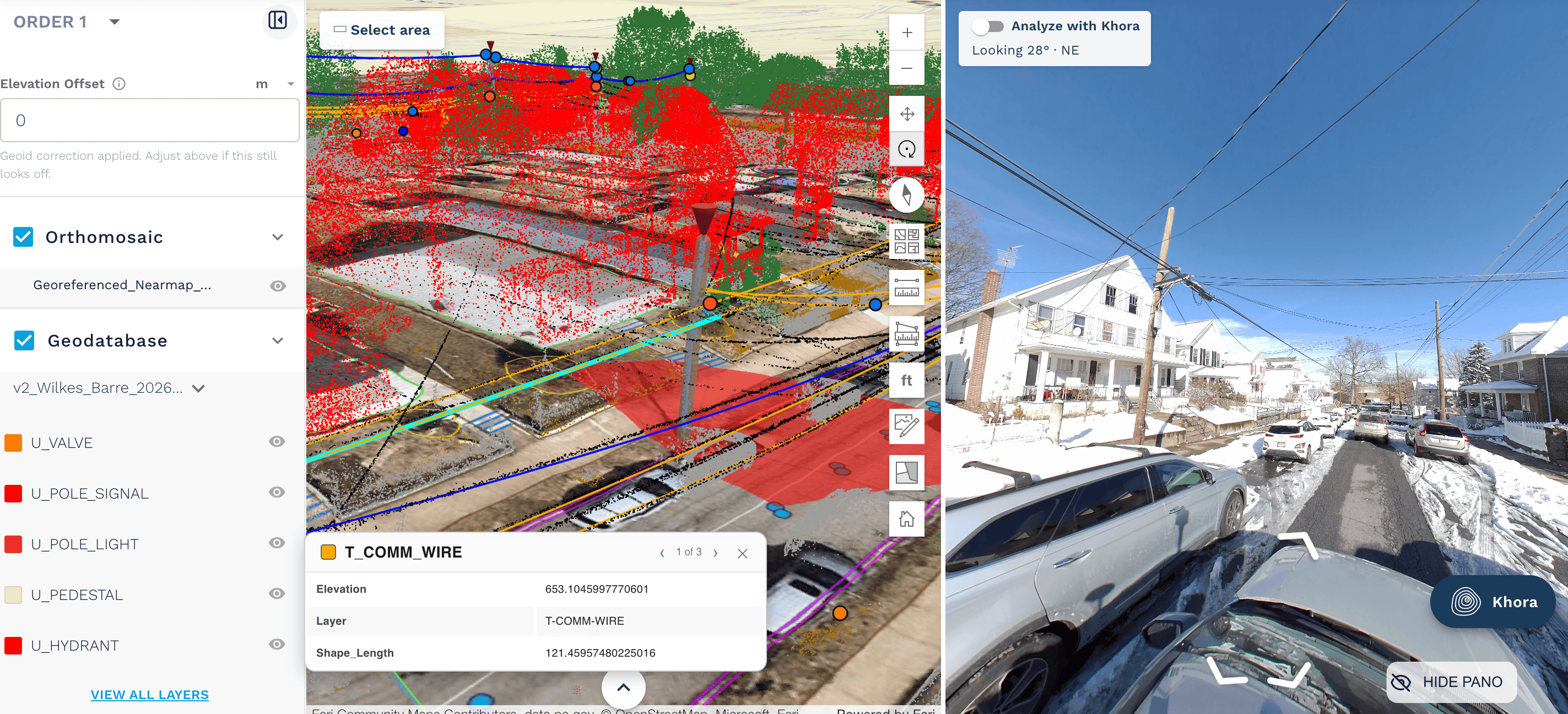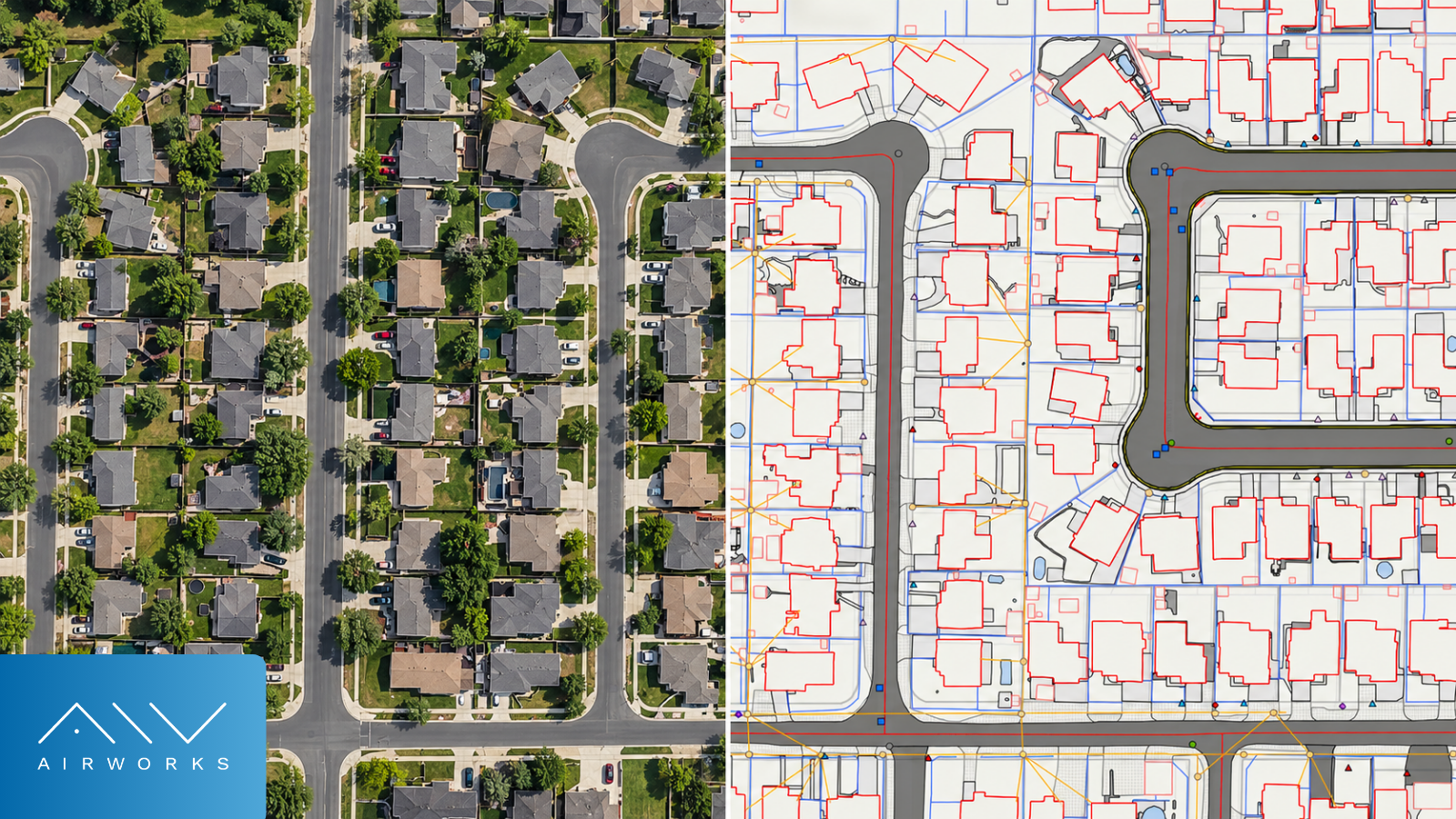
Get Your Project Off to the Right Start
Broadband infrastructure projects require extensive planning and coordination before construction can begin. Permitting is a particularly demanding part of that process, with engineering teams responsible for preparing documentation that satisfies the requirements of municipalities, utility owners, and regulatory authorities. These requirements can vary significantly between jurisdictions, adding complexity to projects that already involve substantial engineering work.
Access to accurate existing-conditions data can help teams navigate these challenges more efficiently, supporting faster decision-making and reducing the time required to prepare engineering plans and permit applications. Without it, permitting workflows are built on shaky informational footing that can compromise decisions made downstream.
Understanding the Broadband Permitting Process
Permitting requirements depend on the location, scope, and construction methods of a broadband deployment. Projects crossing multiple jurisdictions may require separate applications to local governments, transportation agencies, and utility owners, each with its own documentation standards.
Several types of permits and approvals are common throughout broadband infrastructure development:
- Right-of-way (ROW) permits: Construction activities such as trenching, directional boring, and conduit installation often require detailed site plans showing proposed work in relation to existing infrastructure.
- Pole attachment approvals: Aerial deployments require coordination with utility pole owners to evaluate existing attachments, clearance requirements, and potential make-ready work.
- Municipal and regulatory approvals: Additional approvals may be necessary for railroad crossings, environmental considerations, highway crossings, or other location-specific requirements.
Managing these requirements becomes especially challenging for large-scale deployments involving multiple communities or infrastructure owners. It’s a lot to keep track of, especially without proper establishment of ground truth.
Common Challenges in Permitting Preparation
In permitting, every decision counts, and so each decision needs to be informed by the right data. Engineers need reliable information about existing site conditions to develop proposed routes and prepare drawings for reviewing authorities.
Traditional mapping workflows often involve manual feature identification and drafting, sometimes supplemented by additional field visits. When information is incomplete, engineers may have difficulty identifying potential conflicts early in the design process, leading to revisions or additional documentation later.
These challenges can affect the broader project schedule. Engineering teams frequently develop preliminary designs and customer proposals while preparing for permitting. Delays in obtaining usable site information can slow progress across these activities, particularly when multiple projects are underway.
Better Field Data Supports Faster Decisions
Reliable existing-conditions data helps engineers understand the physical environment surrounding a proposed broadband installation.
For underground deployments, information about roadway geometry and visible surface features can help engineers evaluate potential alignments. In aerial deployments, mapping utility poles and surrounding infrastructure supports preliminary route planning and subsequent attachment assessments.
When accurate geospatial data is available early, teams can evaluate routes and develop designs with a clearer understanding of existing conditions. This also supports proposal development, allowing engineering firms to assess project requirements and prepare estimates more efficiently.
As projects advance, the same underlying information can support detailed engineering drawings and permit documentation, reducing the need to recreate existing-conditions information at each stage.
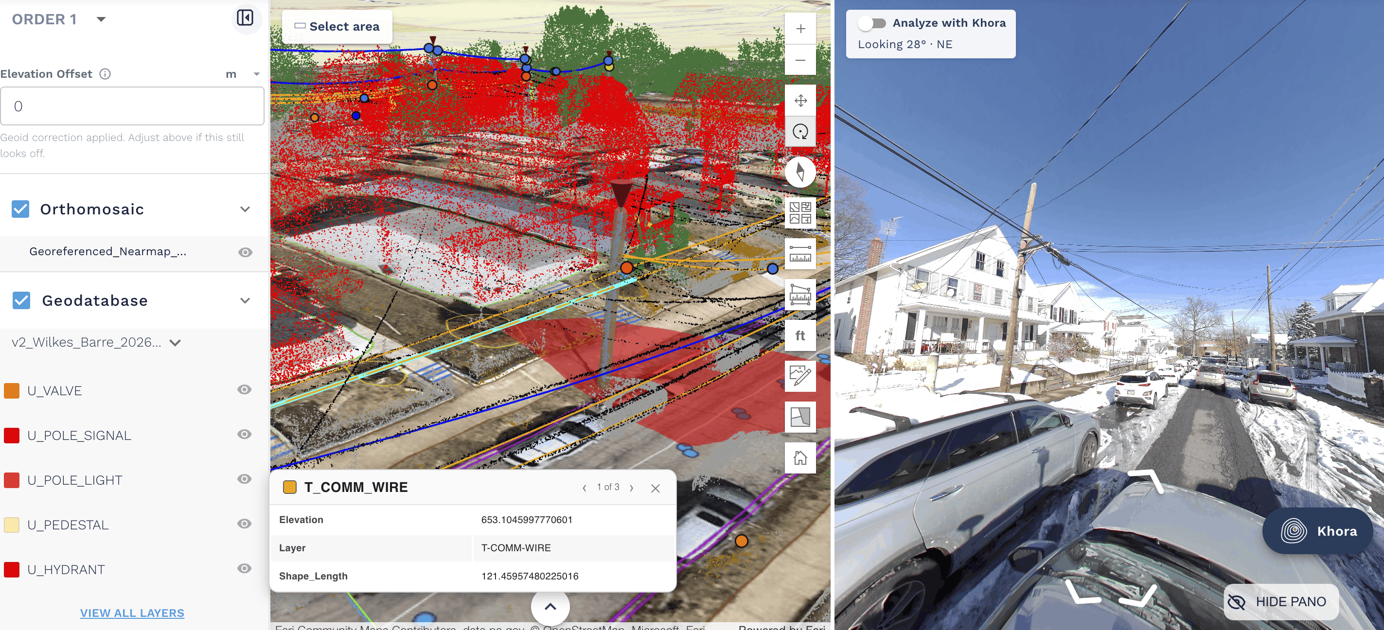
Streamlining Permitting Preparation with AirWorks
Existing-conditions mapping is an essential part of broadband engineering, but producing that information manually can require considerable time and resources.
AirWorks helps engineering teams accelerate this work by transforming raw field data, including LiDAR and imagery, into accurate, actionable geospatial deliverables. Through AI-enabled feature extraction and human quality control, AirWorks produces linework representing utility poles, roadways, sidewalks, pavement edges, and other relevant physical features.
With accurate existing-conditions information available sooner, teams can spend less time on manual mapping and more time developing engineering plans and preparing permit packages. The benefits extend to preliminary engineering and proposal development, helping firms move projects forward more efficiently.
It lets your team get back in control of your project backlog and empowers them to do their work quickly and accurately. With the right field data, permitting workflows get off to their best possible start and stay on track for the long haul.
Keeping Broadband Projects Moving
Permitting will remain an important part of broadband infrastructure development, particularly as projects span multiple jurisdictions and involve increasingly complex coordination requirements.
By improving access to accurate existing-conditions data, engineering teams can make informed decisions earlier and reduce the time spent preparing documentation. AirWorks supports this process by accelerating the mapping work that underpins broadband engineering, helping firms prepare proposals sooner and maintain momentum through permitting.
Learn more about how AirWorks supports broadband engineering.