Imagery built for detail
For more than 25 years, Eagleview has captured geospatial data in North America with advanced aerial camera systems. The result is a living library of billions of images that covers the vast majority of the United States, and their collection keeps growing.
Engineering firms, utilities, government agencies, and many other organizations work with Eagleview directly, using its imagery for everything from visual inspection and measurement to planning and asset management.
Eagleview imagery is known for its detail and consistency. Its high-resolution capture shows curbs, poles, driveways, and pavement edges clearly enough to map with confidence. Straight-down orthogonal views are suited to mapping and measurement, while angled oblique views add depth and context. Major metros and growth areas are refreshed on a regular cycle, so the library often holds both recent captures and a historical record of how a site has changed. For anyone who designs, builds, or maintains infrastructure, that's a strong starting point.
Two strengths, one workflow
While Eagleview imagery supports a wide range of applications independently, our partnership focuses specifically on transforming that imagery into accurate, CAD- and GIS-ready deliverables for infrastructure engineering and design.
The AirWorks–Eagleview partnership adds one more way to put that imagery to work. Eagleview provides a detailed view of the site, and AirWorks' geospatial AI turns it into structured, engineering-ready linework, such as edge of pavement, curbs, sidewalks, driveways, building footprints, and pole locations. Teams can bring that linework into CAD and GIS for planning, design, and permitting.
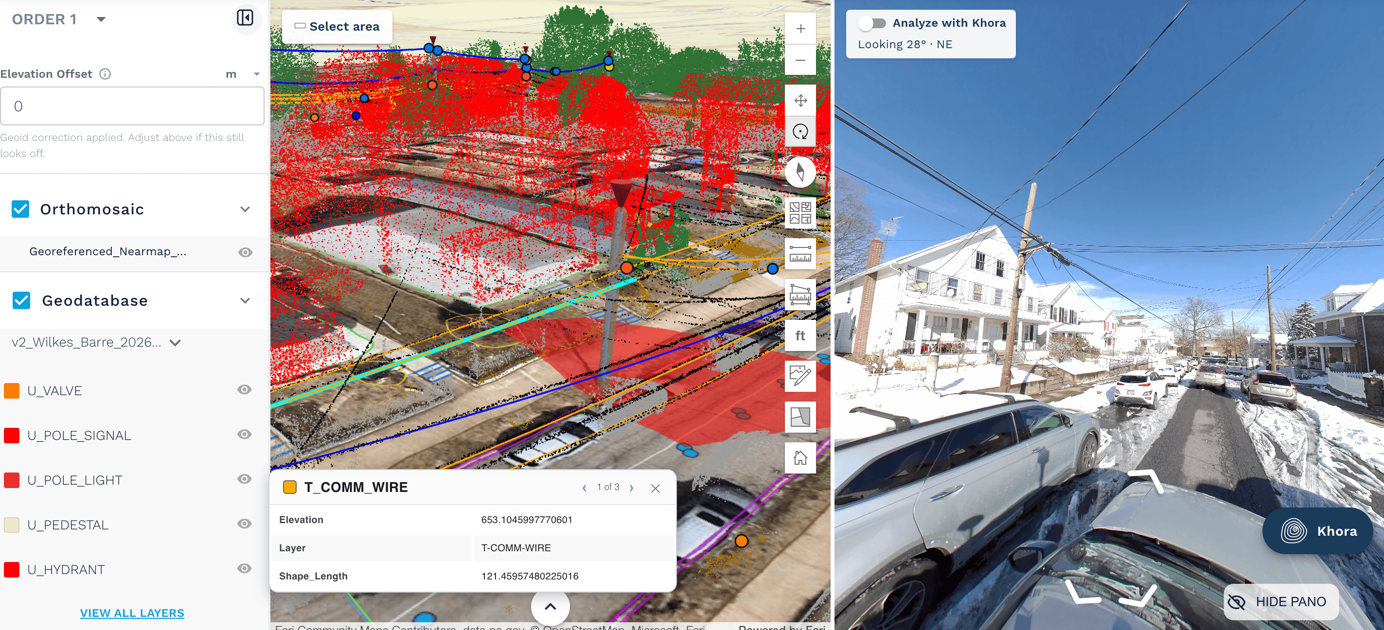
The integration is built directly into AirWorks Automate™. Customers draw an area of interest, check Eagleview coverage in seconds, and send the imagery straight into processing. For teams that need vector deliverables, the work moves from imagery to usable engineering data in one place, with no files to hand off between tools.
Each side of this partnership makes the other more useful. Detailed imagery gives AirWorks' AI a solid foundation for precise feature extraction. Automated extraction adds a CAD- and GIS-ready layer on top of the imagery for teams whose next step is design.
Putting it to work
Here's how AirWorks customers most often use Eagleview imagery in their projects:
Broadband: telecom programs often span dozens of neighborhoods. Where Eagleview has coverage, teams can move into route planning, right-of-way review, and design-ready linework quickly, area by area, with features like curbs, driveways, and pole locations ready for make-ready and permitting packages.
Utilities: Long corridors and distributed assets need broad, consistent context. Eagleview's library gives utility teams a dependable view of surface features and surrounding infrastructure to plan against. AirWorks extracts that context into linework for corridor planning, base mapping, and design.
Civil and multi-site development: When several sites need evaluating at once, teams can check each one in seconds. They can start right away where imagery is available and plan dedicated captures where a project calls for something specific. AirWorks then delivers existing-conditions linework for site plans and early design.
A partnership built for engineering teams
Eagleview and AirWorks share a simple goal: getting accurate data to the people designing the built environment, faster. Eagleview brings an extensive imagery library, and AirWorks brings AI-enabled feature extraction for engineering and design applications. For teams that need linework rather than imagery alone, together they offer a proven way to get projects started.
"Engineering teams need accurate data, and they need it quickly. Pairing Eagleview's high-resolution imagery with AirWorks' geospatial AI gives them both, all in one workflow. We're excited to see how customers put it to work across broadband, utility, and civil projects." — Patrick Gill, Eagleview
See what Eagleview has captured for your next project. Log in to AirWorks Automate™ and check coverage in seconds: cloud.airworks.io