.png)
Utilities are sitting on a mountain of geospatial and AI investment, but most still aren’t fully integrating their data, and using it to drive daily operational decisions.
Deloitte's latest report, "From silos to synergy: How utilities are integrating AI and geospatial intelligence for resilience," lays out the scale of the problem clearly. Outages in 2024 cost customers $121 billion, up from a seven-year average of more than $67 billion, and averaged 11 hours in duration, nearly double what it was a decade ago. Vegetation risk alone is costing IOUs roughly $10 billion annually across the industry, an average of nearly $40 million per utility.
So, utilities are responding, and the spending is real. AHR advanced technology spending for transmission and distribution rose 38% from 2023 to more than $8 billion in 2025. But here's the gap the report calls out: only 27% of surveyed utilities have reached high geospatial maturity in their resilience strategy, and just 10% have achieved both high geospatial and AI maturity together. The tools exist; The integration doesn't.
The report's diagnosis rings true from where we sit: data silos and legacy systems remain the top barriers to integrating geospatial intelligence, followed by slow adoption into operational workflows. Utilities aren't short on data; they're short on a shared, trusted geospatial layer that connects asset condition, vegetation encroachment, hazard exposure, and field operations into one picture everyone can act on.
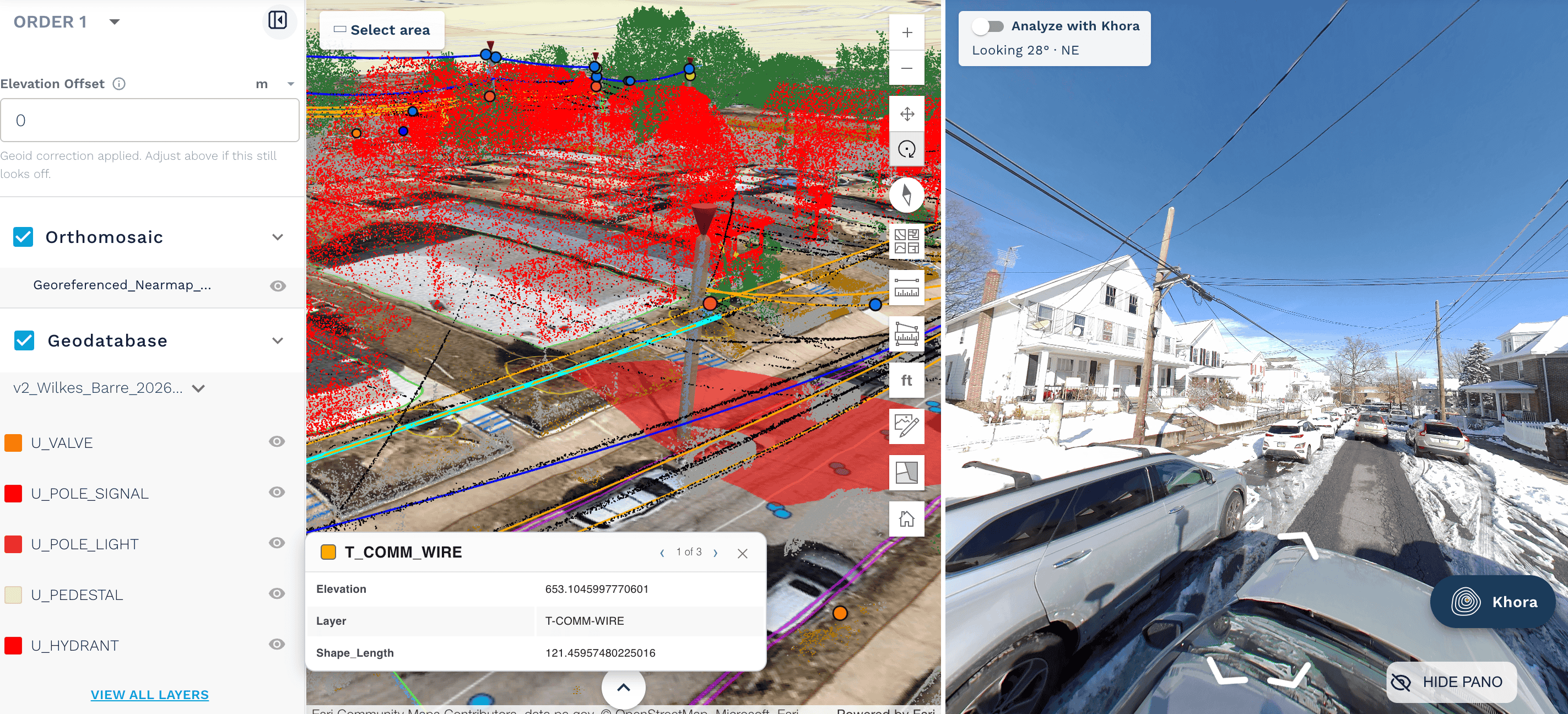
That's exactly the gap we built AirWorks to close. Instead of raw LiDAR and imagery sitting in disconnected systems, we turn aerial and mobile capture into structured, AI-extracted asset and vegetation intelligence, things like encroachment distances, pole and conductor locations, and vegetation growth rates, delivered in formats that plug directly into a utility's existing GIS and asset management systems. It's the shared data architecture piece of the puzzle Deloitte points to as the real unlock, not just another point of solution living in its own silo.
The next frontier isn't more pilots. It's turning geospatial intelligence into connective tissue between planning, capital allocation, and field operations. That's the shift from silos to synergy, and it's the work we're focused on every day.
Read the full report by clicking below:
%20(411%20x%20258%20px)%20(1).png)

.png)
.png)

